Manaslu Trek
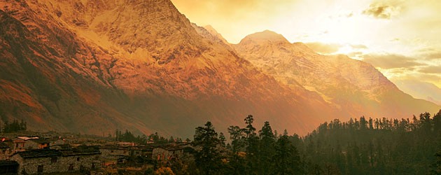
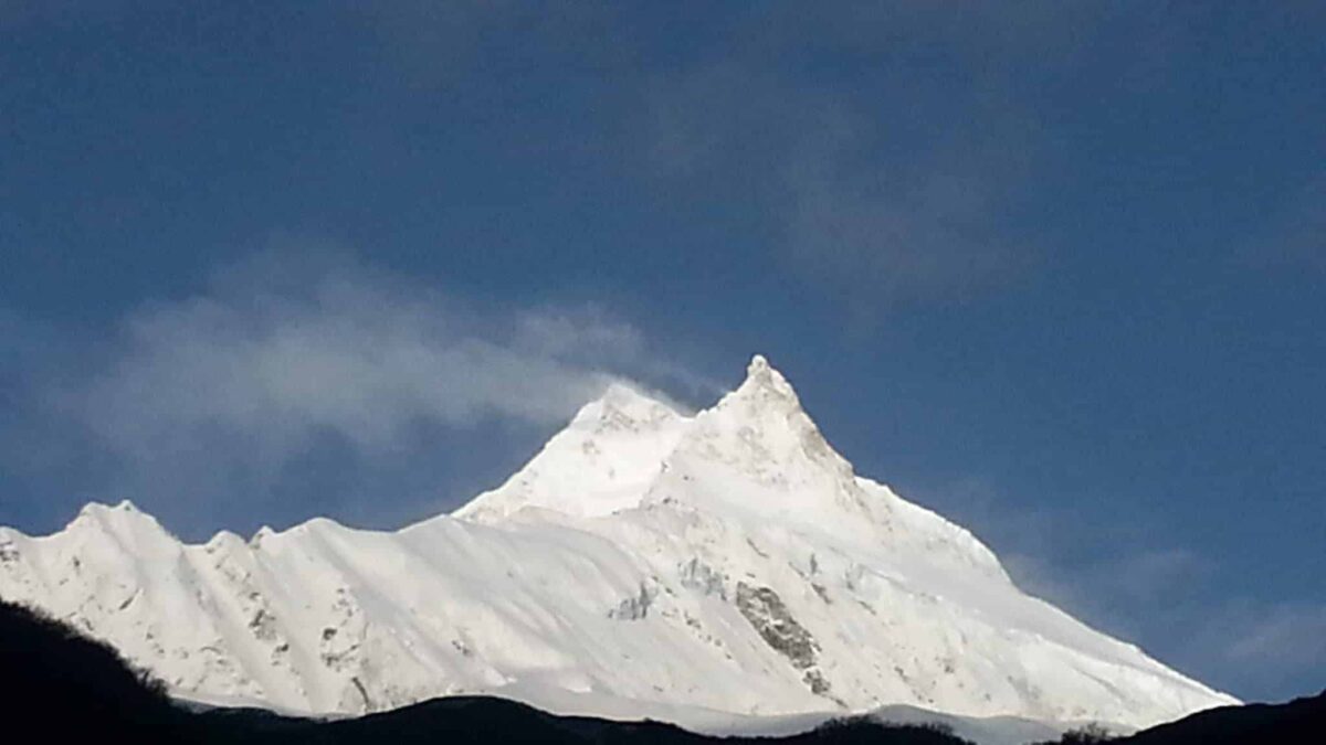
Nepal is home to 8 of the highest mountains in the world. There are 14 mountains in the world above 8,000m/ 26,246 feet. Manaslu is one of these mountains. We have treks in the Makalu region to Mera peak. We trek to Everest, we trek around Kangchenjunga, around Annapurna and into Annapurna Base Camp. The Manaslu trek really is remote, unique and away from the busy trekking regions.
Daily Distances
Day 1 Arrive in Kathmandu – 1,400m/ 4,500 feet
Arrive in Kathmandu. You will be picked up at the airport and brought to our hotel for the night. We will conduct a trip briefing on this day. The hotel is close to all amenities and you can pick up any last minute items. Overnight hotel.
Day 2 Drive from Kathmandu to Sotikhola – 710m/ 2,328 feet
We set off early today for Sotikhola. During the drive, we enjoy views of the Nepalese
countryside along with the mountain scenery. We will be driving on a paved road from
Kathmandu to Dhading Bensi, district headquarter of Dhading (1,050m/3,444 feet) but the drive from Dhanding Bensi to Arughat will be on a rough road. Upon reaching Arughat, a major town in the region we drive further towards Sotikhola. Total driving time today will be between 8 – 9
hours.
Day 3 Soti Khola - Maccha Khola – 900m/ 2,952 feet
At the crossing of the bridge, we trek through beautiful Sal Forest, then climb onto a ridge above huge rapids on the Budhi Gandaki. We then reach Khursane upon which the rocky trail weaves its way up and down, past two tropical waterfalls on a steep, rocky trail clinging to the side of a cliff. It eventually makes its way down and past a few rice terraces, then up and around to the Gurung village of Labubesi. We climb behind a rocky outcrop, where the valley opens and the Budhi Gandaki meanders among wide gravel bars. Dropping to the sandy riverbed, we walk along rounded stones before climbing over a side ridge. We head down again to the river and cross another suspension bridge to reach Machha Khola village. Today, you will walk for approximately 6 – 7 hours.
Day 4 Maccha Khola - Jagat – 1,410m/ 4,625 feet
The narrow trail continues up and down, eventually crossing the Tharo Khola and reaching Khorlabesi. Continuing onwards we come across a small Hotspring in Tatopani. From the hot spring, we climb over another ridge, then cross the Budhi Gandaki on a suspension bridge. At this juncture, we climb on a wide, well-crafted staircase, then across a landslide and over a ridge to Dobhan. Upon crossing a suspension bridge over the Yaru Khola, we climb the stone stairs and then drop to the river and again climb more stone stairs to Tharo Bharyang. Crossing the west bank of the Budhi Gandaki, we climb over a ridge, trek along the river, before climbing
towards the village of Jagat. Today will be another 6-7 hours of walking.
Day 5 Jagat - Deng – 1,804m/ 5,917 feet
Today we climb over a rocky ridge to Salleri, and then descend to Sirdibas. The valley widens a bit as the trail continues up to Ghatta Khola. We continue walking upstream to a long suspension bridge in Philim, a large Gurung village. The trail turns north just above the lowest house in the village and stays on a level trail as it crosses millet fields to Ekle Bhatti. The route now enters a steep, uninhabited gorge. At this point, we descend to the grassy land slopes, cross the Budhi Gandaki, then trek along the west bank for a while, then cross to the east bank and then back again. As we continue through the trail the valley widens and we pass through
bamboo forests to the Deng Khola. Upon crossing the Khola, we reach the tiny village of Deng. Total time trekking today will be 6 – 7 hours.
Day 6 Deng - Namrung – 2,630m/ 8,626 feet
After a brief walk beyond Deng, we cross the Budhi Gandaki and climb to Rana at 1910m. From the bridge, we climb a bit to join a trail from Bhi, then head west up the Budhi Gandaki valley. The trail also passes through forests and mani where we turn towards a corner that contours to Ghap. We walk to Prok village, Prok village has a viewpoint for a beautiful sight of Siringi Himal. We further cross the Budi Gandaki several times today and come across several gompas on route. The trail follows the river upstream through a dense forest. After crossing the river at an
impressive spot where it thunders down a narrow gorge, the forest becomes less dense, and the trail is fine again. The pleasant walk continues and after a last steep climb, we reach Namrung. This will be another 6 – 7 hours of walking.
Day 7 Namrung – Samagaon – 3,530m/ 11,578 feet
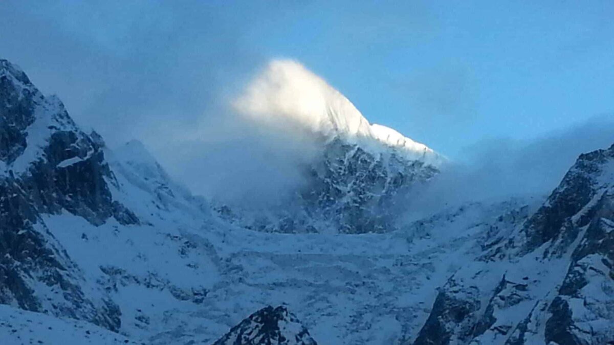
Namrung village is a good viewpoint for Siring and Ganesh Himal and from the village one can also see Mount Himal Chuli in the south. We climb steadily and pass-through forests and reach Lihi, a fine village with many chortens and barley terraces. The trail drops and crosses the side valley of Simnang Himal with Ganesh Himal always close by. We pass through Sho, Lho and Shyala villages before reaching Sama Village. We enjoy extraordianary views of Mt. Manaslu
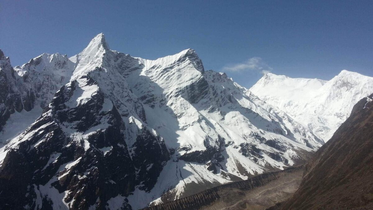
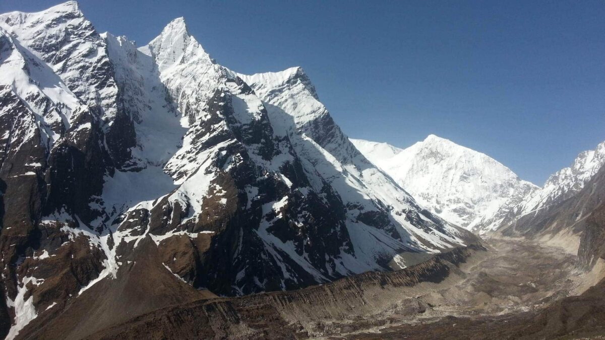
from Lho village and explore the famous Ribung Gompa. In Shyala village we will be surrounded by high mountains like Himal Chuli and Peak 29 (Ngadi Chuli) to the left, Manaslu and large glaciers straight ahead, and other snow summits to the right, and at the far end stands Ganesh Himal. Today will be 6 -7 hours of trekking.
Day 8 Samagaon - Pungyen gompa – Samagaon – 3,530m/ 11,578 feet
We spend the day at Samagaon both for rest and acclimatization. Today, we get acquainted with the rich Sherpa culture. We enjoy the sight of thousands of mani stones with Buddhist texts and pictures and the Sherpa women clad in traditional clothes and ornaments. On a little hill near the Sama village is an old Gompa (Pungyen Gompa), a monastery with great views of the glacier. It is named after Manaslu, Pungyen means bracelet, a good description of the two
peaks. It was destroyed a year after the first unsuccessful Japanese attempt to climb Manaslu. The locals believed that the climb angered the gods, and when the Japanese came back a year later, they met with a lot of resistance that they had to give up their attempt. They were finally successful in 1959. Today will be 6-7 hours of exploration!
Day 9 Samagaon – Samdo – 3,860m/ 12,660 ft
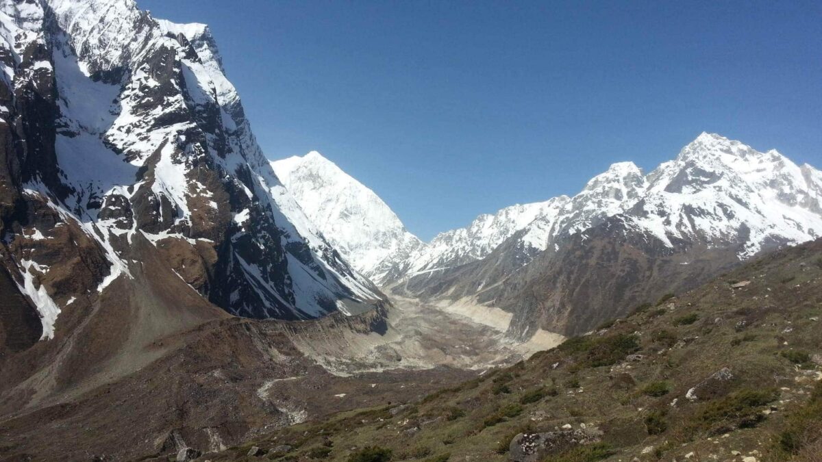
Today, we descend to the Budhi Gandaki River, that has turned north and follow it to a bridge over a side stream. The trail to the left leads to the Manaslu Base camp. The Larkya la Trail passes several mani walls as the valley begins to widen. It is an easy trail on a shelf above the river passing the juniper and birch forests of Kermo Kharka. We drop off the shelf, cross the Budhi Gandaki on a wooden bridge and climb steeply onto a promontory between two forks of the river, finally reaching Samdo. Today will be a 4–5-hour hike.
Day 10 Acclimatization Day in Samdo – 3,860m/ 12,660 ft
This is another day set aside for proper acclimatization. There are two options for us today. The option that we highly recommend is a hike up the valley directly at the back of the Samdo Village. This hike will take us to one of the trade passes to Tibet for excellent views of Mount Manaslu along with other Himalayan ranges including Simrang, Hiunchuli, Ngadi, Larkye Peak, Cheo and possibly Kang Guru behind the pass. On route to these viewpoints we pass many
seasonal herding settlements called doksas and see some beautiful mountain birds like the Lophophorus (the national bird of Nepal), Lammergeyer and Himalayan Griffin soaring high above us. Another option for today could be a trip to the Gya La to the north of
Samdo, a more frequently used trading route to Tibet. But this is a rather longer hike (whole day) and hence could be a little tiring.
Day 11 Samdo - Dharamsala/Larkya B. C. – 4,460m/ 14, 628 feet
Today, we continue our walk down the trail, crossing the wooden bridge over Budi Gandaki, and then we begin walking upward. Upon crossing two streams and seeing the Larkya Glacier we go around the valley of the Salka Khola and climb up again to the stone guest house (4,450m/ 14,629 feet), which is not a lodge, but a kind of shelter called Dharmshala, also known as Larke Phedi. The short walk today also leaves plenty of time for acclimatization and relaxing in the afternoon. Overnight in Dharmashala. Today’s hike will be between 4 – 5 hours.
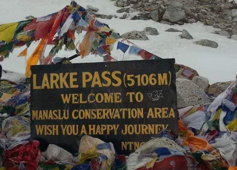
Day 12 Dharamsala - Larkya la – 5,160m/ 16, 924 feet - Bimthang – 3,720m/ 12, 201 feet
After a short climb, we reach a valley on the north side of the Larkya Glaciers from where we can enjoy great views of Cho Danda and Larkya Peak. Finally, we walk across moraines of the glacier, making a gradual ascent which becomes steeper only in the last section of the pass. From the pass, there are outstanding views of Himlung Himal, Cheo Himal, Kangguru and the huge Annapurna II. It is a longer day than usual to Bimtang, but to walk into these low pastures with the evening mist coming in with Mount Manaslu looming close by is an overwhelming
experience. Today will be a challenging and long day that takes approximately 8 -9 hours.
Day 13 Bimthang – Tilije – 2,300m/ 7,544 feet
From a ridge at Bimthang, we can enjoy great views of Mount Manaslu, Lamjung Himal, Himlung Himal and Cheo Himal. We descend further and cross a high pasture (Sangure Kharka) followed by a bridge over Dudh Khola. We walk through rhododendron forest and follow a trail through a narrow valley until we reach the highest cultivated land of the valley at Karche, 2785 meters. We pass across fields before making a steep climb over a ridge. The trail comes off the ridge in a
big, sweeping arc to the riverbank at 2580m. A short distance beyond is the village of Gho. We could overnight at Gho but better lodges are available at Tilije. Today’s hike should take 5 – 6 hours.
Day 14 Tilije – Tal – 1,700m/ 5,576 feet
We climb over a small ridge and enjoy the stone paved trail as it passes through a beautiful village. We then cross the bridge over Dudh Khola and climb up through a chorten-shaped arch, pass a mani wall and reach the Thonje village. At the village, we go through a police checkpoint and continue to Dharapani. We have entered the Annapurna circuit section from Dharapani. Further down, we come across Karte village and after quite a bit of walking we cross a bridge over Marshyangdi Khola. We also come across some Mani walls before reaching the village of Tal, situated at the foot of a large waterfall. Today should take 5 – 6 hours trekking.
Day 15 Tal – Syange – 1,080m/ 3,542 feet
We follow the trail to Chyamje village crossing the Marshyangdi Khola once again. The
Marsyandi valley opens with its terrace fields and villages clung very high to the hillsides. The
trail then descends through rhododendron and and pine forests to Syange. Today, on our final
day of hiking, it should take approximately 6 – 7hours to reach our destination.
Day 16 Syange - Kathmandu
The drive from Syange to Kathmandu via Besi Sahar offers one an opportunity to enjoy both hill and mountain landscapes. The 8–9-hour drive is often along the banks of the Marsyangdi and Trishuli rivers. We also drive by some beautiful villages with farming terraces on both sides of the road. Once we reach Kathmandu, you will enjoy your final night in Nepal in the hotel.
Day 17 Kathmandu
Today is the final day of our itinerary. We recommend that you do not book your return flight until no earlier than the evening on this day. That will be critical if there are any delays getting out of the mountains on the day before. We include your return transfer back to the international airport for your onward journey. If you want to spend any extra time in
Kathmandu, we are happy to book additional nights for you in the hotel.
Ready to go?
Does this information on our Manaslu Trek Trek excite you? If so, get in touch today.
Join our award winning team in Nepal. We pride ourselves on making sure that our clients have every opportunity to succeed in the mountains, including professional guides, training advice, gear lists and much more. We are always available to answer any questions you may have by email or phone so contact us today!
